IT This page is translated in English
Ancient and modern Rome is one of the most relevant research subject in the world, in many different disciplines; at the same time, this role of the Eternal Town, and the extraordinary extension of his cultural heritage as well as the large dissemination of related document sources make the knowledge of the city of Rome – this is the paradox – more difficult.
This is the reason why dealing with Rome means to face a big challenge, and our free-access WebGIS aims to contribute to shape a multi-professional network for international research.
Our research is focusing since more than ten years on an instrument able to relate each other different document sources concerning urban architecture, archeology and any possible field in urban studies.
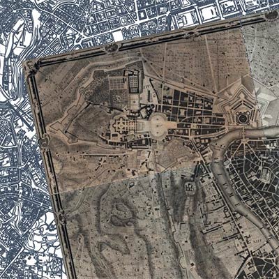
Following former IT and GIS projects carried out by the partners, mostly based on the Nolli map of Rome (1748), the ongoing project is based on the detailed cadastral source of the Gregoriano cadastre (1824), and was funded by CARIPLO bank foundation since 2006.
The last phase of the project, “Portrait of towns”, is now involving also other Italian cities: Milano and Bologna, in the perspective of developing methodologies to manage the historical cartographical information in Italian towns.
Access to WEBGIS Descriptio Romae